
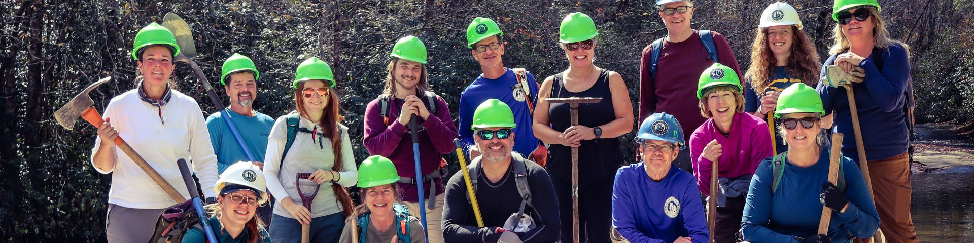
Resource assessments in Panthertown, including collecting data on trails and campsites, and then analyzing that data, form the basis for management decisions made by the U.S. Forest Service and work performed by Friends of Panthertown.

Trail Assessment Results
Over 900 data points have been collected and now analyzed by Fletcher Meadema of Grouse Trail Works. The result, a document that provides trail-by-trail data and trail class recommendations. In 2026 the U.S. Forest Service used the data collected to create and approve Trail Management Objectives for all 20 US Forest Service system trails in Panthertown!

We are publicly sharing the data, trail by trail, for all 20 of Panthertown’s designated trails in what we like to call “trail facts,” similar to nutrition labels on the sides of food products.
Big Green Trail (FS #487)


Blackrock Trail (FS #447)


Carlton’s Way (FS #458)


Deep Gap (FS #449)


Devil’s Elbow (FS #448)


Granny Burrell Falls (FS #486)


Great Wall (FS #489)


Green Valley (FS #484)


Greenland Creek (FS #488)


Little Green (FS #485)


Mac’s Gap (FS #482)


North Road (FS #484)


Overlook (FS #491)


Panthertown Valley Trail (FS #474)


Powerline Road (FS #451)


Rattlesnake Knob (FS #452)


Riding Ford (FS #450)


Turkey Knob (FS #469)


Wilderness Falls (FS #490)


One specific outcome of this resource assessment is to provide the data needed in the creation of Trail Management Objectives (TMOs) for Panthertown’s trails. Creating TMOs is a nationwide effort, as only a small percentage of trails in the nation have been accounted for. TMOs provide each trail with specifications for intended use, and in turn function as a baseline for maintenance projects that may be needed to keep it up. Secondly, you can’t fund what you don’t know you have. Now that all 20 trails have TMOs in place, the USFS can go to Congress and ask for funding to support future needs!

Panthertown trails are different from other trail systems in that a large number of designated trails were former logging roads or were simply bushwhacked into existence, and now suffer from decades of water erosion (in some places). Very few were intentionally and sustainably built with recreation and natural resource protection in mind. Panthertown campsites also share that nature in that they arose organically and may not be in suitable locations. Many less than 200 feet from a waterway.
Panthertown as a recreation area is rather new to USFS management, entering the system in 1989, and recreation resources have not undergone an in-depth evaluation of this kind. The holistic, data-driven approach to recreation resource management will give our land managers a complete big-picture view of Panthertown’s inner workings. The data collected was utilized to create long-term visions and action plans that include FoP and stakeholders, creating a more sustainable recreation experience and protecting our precious natural resource.
This project was initiated in the summer of 2022 by Friends of Panthertown. FoP took on the huge task of actively surveying all of the trail and campsite resources in Panthertown.
This resource assessment process is an extensive and time-consuming effort, with every recreation feature being documented, from basic trail drainage features, water crossings, bridges, eroded trail tread, to any areas with a campfire ring present.

Our trained team collected data through the ArcGIS platform and its Survey123 app. At the beginning of this assessment process, our staff worked with USFS Region 8 Trail Advisory Team and our local Nantahala Ranger District to create a clear and concise survey that encompasses all of the parameters required for accurate data collection.
Our team also utilized physical tools, such as a measurement wheel for determining exact lengths of impacts on trails and the square footage of campsite impacts. Clinometers to measure the grade of a trail and the cross slope of the hillsides, a crucial factor for erosion. As well as photographs and LIDAR imaging, which provide visual documentation during our assessments.
All three phases of this project have now been completed. From data collection by Friends of Panthertown, data analysis by Fletcher Meadema of Grouse Trail Works, and now adopted TMOs for all 20 of Panthertown’s US Forest Service System trails. This is a huge accomplishment, as there are very few trail systems in the nation with completed TMOs for all trails in a single system.
“Terrific Job At Stewarding”
Friends of Panthertown does a terrific job at stewarding one of our greatest natural assets and ensuring its sustainability for future generations to come. Their efforts are invaluable, and we are so lucky to have such a dedicated team.
Nick Breedlove, Executive Director, Jackson County Tourism Development Authority
“Highly Committed”
Friends of Panthertown is an amazing organization committed to protecting the vast 6000 plus acres we all love to experience! This group works diligently all year to organize trail maintenance work days, support conservation efforts to benefit this land, and to educate Panthertown users! A highly committed and dedicated group!
Marcia Shawler
Volunteer, Friend